Wednesday, 23 April 2014

Arrival at St Bees

Wednesday afternoon and we dropped our hire car at Barrow-in-Furness and boarded the train for St Bees, arriving at 1.35pm.  The weather was cloudy with drizzling rain. After all the anticipation it was great to arrive at St Bees station.  We arrived along with a couple of guys from NSW who were also starting the Coast to Coast.


St Bees station.
We dragged our luggage about 800m up to our B&B for the night, Abbey Farmhouse, close to the Priory Church (below).

Priory Church at St Bees

 with an arched doorway dating from the Norman period.

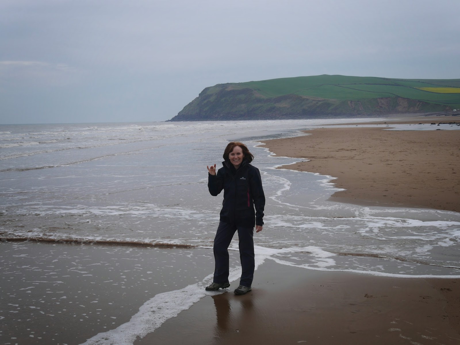
We had time in the afternoon for a walk around St Bees and headed to the beach to follow the coast to coast tradition and dip our boots in the ocean and collect a pebble to accompany us to Robin Hood's Bay.
Elaine chooses a pebble and dips her feet in the Irish Sea.

Gary does the same.
A view of St Bees

For dinner we had a delicious meal at The Manor House Hotel

Our room at Abbey Farmhouse was fantastic.  A huge room with room to spread out, two sofas and a good comfortable bed.  We had a good sleep but awoke early in keen anticipation of the start of the walk.

Abbey Farmhouse B&B.

Monday, 21 April 2014

Before the walk: Grasmere LDNP Navigation Course


Easter Monday, another very pleasant day, about 15 degrees and fine.  

Today we drove to Grasmere to do a navigation course with guides from the Lake District National Park.  Before starting the course we had a brief visit to St Oswald's Church and the Wordsworth family grave where William Wordsworth, the famous Lake District poet, is buried.

William Wordsworth Grave at St Oswald's Church, Gramere

Mike was our tutor on the 5.5 hour navigation course and he taught us a lot about map reading and compass navigation.  

We navigated through Grasmere using the Ordinance Survey map then climbed Silver How a hill which overlooks the town. The name "How" is derived from the Norse word "Haugr" which means hill, a rem ant from England's Viking history.  Silver How is a small fell, 395m high.

Silver How
There are lots of humps and crags (rocky outcrops) on Silver How which make it ideal for some challenging navigation.  Learning to navigate by compass was good experience for our coast to coast walk and will come in handy if we have bad visibility during our trek across the Lake District and Moors on the Coast to Coast walk.

A tarn and crag on Silver How

On Silver How, the lumpy terrain makes it ideal for navigation training. Elaine and Mike walk to the next waypoint.

We also enjoyed fantastic views over Grasmere, Rydal Water and, in the opposite direction, the Langdale Valley.  


Grasmere and Rydal water in the distance


As we will be walking through Grasmere during our walk we also had a preview of the terrain we would be walking through at the end of the week.  We will be walking up and through the gap between Seat Sandal on the left and Fairfield on the right.


Seat Sandal on the left and Fairfax on the right with the gap leading to Grisedale Tarn

On the way home we stopped briefly at Windermere for a view across the lake with the misty fells in the background.

Evening at Windermere


Saturday, 19 April 2014

Before the walk: Scafell Pike

Easter Saturday we decided to make the most of the spell of clear weather to climb Scafell Pike, the highest peak in England.  Given the beautiful weather, we were joined by almost everyone else in England, many of whom brought their dogs along for the trek.  

Although it was a lovely clear day we took our packs with coats etc as practice for our up coming Coast to Coast walk and, less than 24 hours after arriving in England, began the climb.  The route from Wasdale Head is very rocky, the path a mix of natural rocky path and man-made rocky path, so not a pleasant walk on the feet.  

The cliff face of Mickledore looms above as Elaine ascends the rocky path.  


There was a pleasant view back over Wast Water.


At a fork in the track, we took the classic route on the right path under the cliff face of Mickledore to a scramble up a scree of loose rock called Lords Rake.  At times it felt as if you would cause an avalanche of rock onto those coming up behind.  

As we struggled up this narrow cleft in the cliff face, two children about 8 years old just zoomed past us wondering why the adults were finding the going so difficult.  In the photo to the right, the scree lies in the cleft immediately below where the two people are standing on the ridge.

Elaine scrambles up Lord's Rake


From here on, it was a less steep climb to the top over boulders towards the summit.  


The dogs making the climb didn't seem to be troubled by the rocks.


Near the summit on the east face there were still a few patches of icy snow.   


The panoramic view from the top is great.


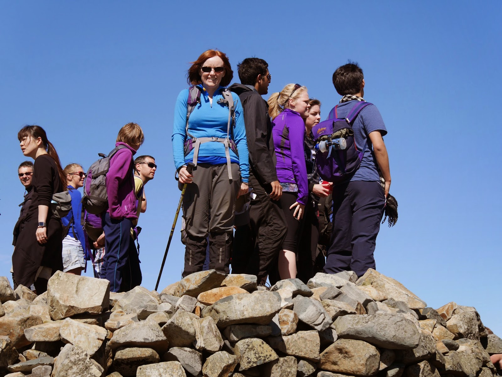
On reaching the summit we climbed onto the large cairn at the top for an obligatory photo.


We found a soft patch of ground along the north face to sit and eat lunch with fabulous views over Styhead Tarn to Derwentwater.  


Then it was time for the jarring trek down the rocky path.  Here we discovered that on the ascent, we had taken the more difficult of the two alternative routes to the summit.  At least it was a bit of an adventure.  

On the way down we enjoyed the views across Wast Water and out to the coast.


This was the most difficult climb we have done, more difficult than our climb of Mount Snowdon which is actually higher, perhaps because it was less than 24 hours after landing in England.

Now we need a recovery day – already!

Friday, 18 April 2014

Before the walk: Cartmel

We are staying in a small cottage called Woodland Cottage at Greenback near the town of Cartmel in the south of Cumbria.
Woodland Cottage


Busy Bee in the garden

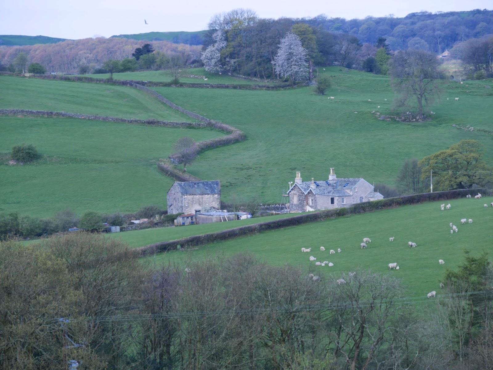
 It is in a lovely quiet spot overlooking farmland across a valley.

View across the valley

The neighbouring Greenbank Farm breeds large black horses called Friesians.

Friesian